Showing posts with label Waterfalls. Show all posts

Friday, July 29, 2011

waterfalls in Thailand, waterfalls of Thailand, List of waterfalls in Thailand, Waterfalls, waterfall in Thailand, waterfalls Thailand, Falls in Thailand, Thailand Falls, Tallest Fall in Thailand, Widest Water fall Thailand, The widest waterfall in Thailand, Photos of Thailand Water falls, Thailand waterfalls Photos, Top waterfalls in Thailand

Waterfalls in Thailand-Waterfalls of Thailand

Huay Kaew Waterfall - Popular Waterfall in Chiang Mai

Huay Kaew Waterfall - Popular Waterfall in Chiang MaiHuay Kaew Waterfall has 2 separate waterfalls, Pha Ngerb and Wang Bua Baan. To have a good view of the falls and enjoy the refreshing and cool shade of the many trees you will have to stray a distance of about 100 metres from the main road in Chiang Mai. The white of racing water stands out dramatically against the deep green of the surrounding forest.

However, do check with locals how clean the falls are as during the dry season the sewage from the villages further up the mountain trickles down the falls. Best to sit with a beer or glass of wine at the end of a day and chill out, rather than go for a dip.

This is the closet falls to Chiang Mai town, being a mere 10 minutes drive from city center and a great place to relax with a picnic in Thailand.
Na Muang Waterfall on Samui IslandIn the interior of Samui Island are a number of waterfalls that can make an interesting change of pace when you tire of the beach scene. The most popular of these are the Na Muang waterfalls, so called because the rock face is purple.

The Na Muang waterfalls lie south of the island's central peaks, at about the midway point between the two coasts. A paved entrance road leads off the main street connecting Hua Thanon, south of Lamai, to Nathon. There are actually two tiers to the waterfalls. The higher tier requires some trekking, on foot or elephant, to reach.

The lower tier is 30 meters high with water cascading over a sheer rock face into a deep pool that can be nice for swimming if there aren't too many other people. Along the path leading to the waterfalls from the parking area are several souvenir stalls as well as some food stalls that can prepare 'real' Thai food at quite reasonable prices compared to many of the island's restaurants.

Just off the parking lot is a place where you can get an elephant to take you up to the other set of falls, or elsewhere in the interior. Further down the access road from the waterfalls is the self-styled 'Namuang Safari Park' offering elephant rides, monkey shows, and just about anything else to make a buck. Its a bit cheesy but might be good fun if you have children with you.
 Wang Kwang Waterfall in Phukradung National Parks of ThailandWang Kwang Waterfall of Thailand is a waterfall where nearest the accommodation just only 750 meters away. It is not very high and looks like a hole down the hill.

Nearby the forest, there are many deer so that this waterfall is called “Wang-Kwang Waterfall”. Because of Wang Kwang Waterfall is a crossing for tourist so is not squash.
Tum So nor Waterfall in Phukradung National Parks of Thailand.

Tum So nor Waterfall is located from Wang Kwang visitor centre about 4.8 km. It is high 10 meters and there is only one level. Tum So nor Waterfall was from the collapse of the land. It also looks like Pen Pob Waterfall. The north area of Tum So nor Waterfall has Rose bush in the summer.

You can find more experience at Phukradung National Parks of Thailand.

Bang Pae WaterfallPhuket three most famous waterfalls are not nearby the largest in Thailand and in dry season the waterfalls is not worth a visit. The largest waterfall named Bang Pae is only around 18 meters high, not exactly the worlds largest. So you see there is no need to vast a whole day traveling just to take pictures in front of a "big" waterfall.

A much better reason is to get away from the beach and sun if only for a day. But why should someone want to do that? It's easy to have a sunburn on the beach, so visiting a waterfall is your chance to let the skin heal and at the same time experience Phuket only remaining rain forest.

Ton Sai and Bang Pae is located in Khao Phra Thaeo National Park 22 kilometers north of Phuket Town on the way to the airport. Also found at Bang Pae is Gibbon Rehabilitation Project where they try to save pet gibbons that have been abandoned.

Walking up to Bang Pae waterfall from the parking lot take around 10 minutes. Under the waterfall is a small pond where many people take the opportunity to bath in cool water and jump from the waterfall out in the pond (don't try it yourself if you don't know what you are doing).

Ton Sai waterfall is on the other side of the hill not far away from the highway in Thailand where parts of the movie Good Morning Vietnam were filmed. This is a perfect place for picnic in the park, very pretty. Only a short walk from the parking lot. Or you can go hiking and explore the jungle around the waterfall. There are maps of the park and guides waiting to take you trough the jungel over to Bang Pae.

Erawan Waterfall in Kanchanaburi Thailand

Erawan Waterfall in Kanchanaburi ThailandErawan Waterfalls are the focal point of the Erawan National Park. This is an exquisite park, very pretty, and very popular with locals and foreigners alike. The waterfalls are equally exquisite. There are seven tiers of waterfalls, each feeding lovely, freshwater pools that you can swim in.

A series of tracks lead you to the various falls across wooden footbridges - quite an experience in their own right! The waterfalls can get a bit crowded as they are so popular, so if you are looking for a more solitary experience, you should perhaps look elsewhere. A number of stalls provide staples like grilled chicken and rice along the way, and there is often very much of a carnival atmosphere about the place, especially in April during the Songkran Festival. A visit here will take the day – you should bear this in mind if you have limited time.

How to get there:
Buses leave Kanchanaburi on a regular basis for the waterfalls, but as you will need the whole day there, you will need to catch the early morning bus. (currently 08:00)
Thi Lo Le Waterfall Rafting in Tak Province of ThailandIf you are planning for your holiday. Thailand Waterfalls is a new choices for you. We are offer the top of Thailand Waterfall is Thi Lo Le Waterfall in Tak Province of Thailand.

Thi Lo Le Waterfall is located in Umphang house, colour of Umphang house in great flood season is canoe rafting at Mekong River, it is the longest river of Thailand.

Rafting at Mekong River, start from Parata house bight to jungle pass to Kota Karens house and you can see Leketi islet, is a long and big several kilometer pass many small waterfalls until at Konmong islet it has a cataract and rocks.

Thi Lo Le Waterfall is the most famous rafting paths in Thailand there are many rapids with different levels of difficulty where you can enjoy getting wet without shivering because of the warm weather of Thailand.
 Sarika Waterfall in Nakhon Nayok Province of ThailandWhen you visited to Khao Yai National Park in Nakhon Nayok Province of Thailand. You can enjoy many activity in Khao Yai National Park, also if you are seeking a charming, peaceful for relax with the nature Sarika Waterfall is the place for that.

Sarika Waterfall is is the famous waterfall in Nakhon Nayok province, Thailand which used to be a highest waterfall in Thailand. Located at Tambon Sarika, Muang District of Nakhon Nayok Province, the fall is 15 kilometers east of the township along Suwannason Road.

Its water stem from Sarika brook flowing from Sarika Mountain. The water will fall from high cliff that’s making the current scatter and it has a big marsh around waterfall which can admit many peoples so you can enjoy your trip here but be careful in raining season because the current will flow fast and strong that’s cause the accidence. 

Source: thailand-waterfalls.blogspot.com
Tags:waterfalls in Thailand, waterfalls of Thailand, List of waterfalls in Thailand, Waterfalls, waterfall in Thailand, waterfalls Thailand, Falls in Thailand, Thailand Falls, Tallest Fall in Thailand, Widest Water fall Thailand, The widest waterfall in Thailand, Photos of Thailand Water falls, Thailand waterfalls Photos, Top waterfalls in Thailand

waterfalls in Thailand, waterfalls of Thailand, List of waterfalls in Thailand, Waterfalls, waterfall in Thailand, waterfalls Thailand, Falls in Thailand, Thailand Falls, Tallest Fall in Thailand, Widest Water fall Thailand, The widest waterfall in Thailand, Photos of Thailand Water falls, Thailand waterfalls Photos, Top waterfalls in Thailand

Waterfalls in Thailand-Waterfalls of Thailand

Huay Kaew Waterfall - Popular Waterfall in Chiang Mai

Huay Kaew Waterfall - Popular Waterfall in Chiang MaiHuay Kaew Waterfall has 2 separate waterfalls, Pha Ngerb and Wang Bua Baan. To have a good view of the falls and enjoy the refreshing and cool shade of the many trees you will have to stray a distance of about 100 metres from the main road in Chiang Mai. The white of racing water stands out dramatically against the deep green of the surrounding forest.

However, do check with locals how clean the falls are as during the dry season the sewage from the villages further up the mountain trickles down the falls. Best to sit with a beer or glass of wine at the end of a day and chill out, rather than go for a dip.

This is the closet falls to Chiang Mai town, being a mere 10 minutes drive from city center and a great place to relax with a picnic in Thailand.
Na Muang Waterfall on Samui IslandIn the interior of Samui Island are a number of waterfalls that can make an interesting change of pace when you tire of the beach scene. The most popular of these are the Na Muang waterfalls, so called because the rock face is purple.

The Na Muang waterfalls lie south of the island's central peaks, at about the midway point between the two coasts. A paved entrance road leads off the main street connecting Hua Thanon, south of Lamai, to Nathon. There are actually two tiers to the waterfalls. The higher tier requires some trekking, on foot or elephant, to reach.

The lower tier is 30 meters high with water cascading over a sheer rock face into a deep pool that can be nice for swimming if there aren't too many other people. Along the path leading to the waterfalls from the parking area are several souvenir stalls as well as some food stalls that can prepare 'real' Thai food at quite reasonable prices compared to many of the island's restaurants.

Just off the parking lot is a place where you can get an elephant to take you up to the other set of falls, or elsewhere in the interior. Further down the access road from the waterfalls is the self-styled 'Namuang Safari Park' offering elephant rides, monkey shows, and just about anything else to make a buck. Its a bit cheesy but might be good fun if you have children with you.
 Wang Kwang Waterfall in Phukradung National Parks of ThailandWang Kwang Waterfall of Thailand is a waterfall where nearest the accommodation just only 750 meters away. It is not very high and looks like a hole down the hill.

Nearby the forest, there are many deer so that this waterfall is called “Wang-Kwang Waterfall”. Because of Wang Kwang Waterfall is a crossing for tourist so is not squash.
Tum So nor Waterfall in Phukradung National Parks of Thailand.

Tum So nor Waterfall is located from Wang Kwang visitor centre about 4.8 km. It is high 10 meters and there is only one level. Tum So nor Waterfall was from the collapse of the land. It also looks like Pen Pob Waterfall. The north area of Tum So nor Waterfall has Rose bush in the summer.

You can find more experience at Phukradung National Parks of Thailand.

Bang Pae WaterfallPhuket three most famous waterfalls are not nearby the largest in Thailand and in dry season the waterfalls is not worth a visit. The largest waterfall named Bang Pae is only around 18 meters high, not exactly the worlds largest. So you see there is no need to vast a whole day traveling just to take pictures in front of a "big" waterfall.

A much better reason is to get away from the beach and sun if only for a day. But why should someone want to do that? It's easy to have a sunburn on the beach, so visiting a waterfall is your chance to let the skin heal and at the same time experience Phuket only remaining rain forest.

Ton Sai and Bang Pae is located in Khao Phra Thaeo National Park 22 kilometers north of Phuket Town on the way to the airport. Also found at Bang Pae is Gibbon Rehabilitation Project where they try to save pet gibbons that have been abandoned.

Walking up to Bang Pae waterfall from the parking lot take around 10 minutes. Under the waterfall is a small pond where many people take the opportunity to bath in cool water and jump from the waterfall out in the pond (don't try it yourself if you don't know what you are doing).

Ton Sai waterfall is on the other side of the hill not far away from the highway in Thailand where parts of the movie Good Morning Vietnam were filmed. This is a perfect place for picnic in the park, very pretty. Only a short walk from the parking lot. Or you can go hiking and explore the jungle around the waterfall. There are maps of the park and guides waiting to take you trough the jungel over to Bang Pae.

Erawan Waterfall in Kanchanaburi Thailand

Erawan Waterfall in Kanchanaburi ThailandErawan Waterfalls are the focal point of the Erawan National Park. This is an exquisite park, very pretty, and very popular with locals and foreigners alike. The waterfalls are equally exquisite. There are seven tiers of waterfalls, each feeding lovely, freshwater pools that you can swim in.

A series of tracks lead you to the various falls across wooden footbridges - quite an experience in their own right! The waterfalls can get a bit crowded as they are so popular, so if you are looking for a more solitary experience, you should perhaps look elsewhere. A number of stalls provide staples like grilled chicken and rice along the way, and there is often very much of a carnival atmosphere about the place, especially in April during the Songkran Festival. A visit here will take the day – you should bear this in mind if you have limited time.

How to get there:
Buses leave Kanchanaburi on a regular basis for the waterfalls, but as you will need the whole day there, you will need to catch the early morning bus. (currently 08:00)
Thi Lo Le Waterfall Rafting in Tak Province of ThailandIf you are planning for your holiday. Thailand Waterfalls is a new choices for you. We are offer the top of Thailand Waterfall is Thi Lo Le Waterfall in Tak Province of Thailand.

Thi Lo Le Waterfall is located in Umphang house, colour of Umphang house in great flood season is canoe rafting at Mekong River, it is the longest river of Thailand.

Rafting at Mekong River, start from Parata house bight to jungle pass to Kota Karens house and you can see Leketi islet, is a long and big several kilometer pass many small waterfalls until at Konmong islet it has a cataract and rocks.

Thi Lo Le Waterfall is the most famous rafting paths in Thailand there are many rapids with different levels of difficulty where you can enjoy getting wet without shivering because of the warm weather of Thailand.
 Sarika Waterfall in Nakhon Nayok Province of ThailandWhen you visited to Khao Yai National Park in Nakhon Nayok Province of Thailand. You can enjoy many activity in Khao Yai National Park, also if you are seeking a charming, peaceful for relax with the nature Sarika Waterfall is the place for that.

Sarika Waterfall is is the famous waterfall in Nakhon Nayok province, Thailand which used to be a highest waterfall in Thailand. Located at Tambon Sarika, Muang District of Nakhon Nayok Province, the fall is 15 kilometers east of the township along Suwannason Road.

Its water stem from Sarika brook flowing from Sarika Mountain. The water will fall from high cliff that’s making the current scatter and it has a big marsh around waterfall which can admit many peoples so you can enjoy your trip here but be careful in raining season because the current will flow fast and strong that’s cause the accidence. 

Source: thailand-waterfalls.blogspot.com
Tags:waterfalls in Thailand, waterfalls of Thailand, List of waterfalls in Thailand, Waterfalls, waterfall in Thailand, waterfalls Thailand, Falls in Thailand, Thailand Falls, Tallest Fall in Thailand, Widest Water fall Thailand, The widest waterfall in Thailand, Photos of Thailand Water falls, Thailand waterfalls Photos, Top waterfalls in Thailand

waterfalls in Australia, waterfalls of Australia, List of waterfalls in Australia, Waterfalls, waterfall in Australia, waterfalls Australia, Falls in Australia, Australia Falls, Tallest Fall in Australia, Widest Water fall Australia, The widest waterfall in Australia, Photos of Australia Water falls, Australia waterfalls Photos, Top waterfalls in Australia

Waterfalls in Australia-Waterfalls of Australia
mitchell fallsMitchell Falls
Mitchell Falls is located in Western Australia (Kimberley area) and with its 80 meters is the second highest waterfall in the region. Descends to the four levels between the red cliffs of the plateau Mitchell and it is creating a blue-green oasis. This waterfall is a part of the Mitchell River, named after the Premier of Western Australia - Sir James Mitchell, who took a part of the country's government in the 20's and 30's of XX century. In the river can be found nine species of fish, which is intriguing ichthyologists for long time and the waterfall is a true nature attraction.


Wentworth Falls
This is one of the most impressive waterfalls in the Blue Mountains. Located near the city named Wentworth Falls. With a metallic color and heavy force crashing into the deep green horseshoe, the rocks absorb the mist from the water fairy. The height of the waterfall is 187 meters, falls into three levels, above which is the largest mass of water and lush flora. Wentworth can be monitored from an impressive valley surrounded by the rocks of Princess Rock. Incredible views of the smaller water cascades reveal the narrow winding paths inside it.


fitzroy fallsFitzroy Falls
Fitzroy is a star attraction of the Kayama area, located centrally in the Morton National Park. As a part of the river Yarunga spills of 81 m above the steep sand cliffs, its access is possible from the both sides. Nearby are located smaller waterfalls, that surprise the unprepared visitors to the area. The waterfall is known as Yarrunga. Opened in 1800 by Charles Trosbi but gets its name from the governor Sir Charles Fitzroy in the magnetic region of the state of New South Wales. At that time the standing of the town was a part of the government's plan, which however failed to be realized. However, there are several roads and paths leading to the waterfalls, a region is inhabited with almost 500 people, along the nearby villages Avoka and Myra Vale.


Ebor Falls
Ebor is located 40 km from Dorigo, in the National Park Guy Fawkes River, that belongs to the river bearing the same name, and descends at two levels. Observed by the high uplands Ebor reveals its top waterfall that crashed from 115 meters among the basalt rocks, divided into two thick water columns. The middle part of the waterfall is 600 meters deep and sinking into the ocean of tall trees and shrubs. Ebor is a "hidden" waterfall among the rocks and a high stringent rich flora. But in a rainy period, its power is so great that the mist provokes the senses from a great distance.
crystal falls

Crystal Falls
Crystal Falls is like a lace, behind which a man can safely stands, near the curve, almost like a smile, in the gap of the rocks. Almost ethereal, Crystal Falls is one of the most beautiful sights of the national park Dorigo. This waterfall is a part of a story which end is not yet invented. Crystal Falls is a beautiful view through the deep shady woods that seems almost unreal. Viewed from below is like a light water column in a cave, that resounds the voices of the birds in this beautiful natural masterpiece.


Triplet Falls
Triplet Falls is located in Victoria state and as the name indicates, it consists of three water columns, which could hardly be covered with eyes. Flocking down with a power of a deep-water river in the heart of the forest among the trees that seem breathless, strange and colorful plants, and high among the branches waving wings in applause a lot of birds. Patience is needed to reach this waterfall. The forest is dense and too tempting for those who seek more extreme experience, many trails lead somewhere, but only two or three have links with Triplet Falls.


Erskine Falls
This is an impressive narrow waterfall, 30 meters high and is located near the coast of the small town of Lorne. The access to Erskine, which is a part of the Park Great Otway, is easy. On the top of the waterfall there is a view to the lower part, but it can be seen from below, which in most cases is the better option - then the whole waterfall is covered with a glance.

Keppel Falls - Yarra Ranges National Park (Marysville, Victoria - Australia)

About 500 metres past the Phantom Falls Walk is the Keppel Falls Walk.


From the car park follow the walking track to the two viewing decks that reach out over the rushing waters of the Taggerty River. The falls were found and named by the Keppel Brothers who settled in the area in the early 1880’s. Keep your eyes out for Lyrebirds which are common in this area, and are often seen after rain.


The walk is of easy to medium standard, and is a 2 kilometre walk return, which may take about 1 hour at leisurely pace.

The kids loves it.


Same area where Phantom falls is; nice dirt road to the falls (for 4WDs entheutiasts).

around 4km round-trip walk to the falls. Don't go there when it is dark; you might encounter foxes on the way.


I certainly heard noises; but didn't tell the wife and kids about it. I picked up a stick and walked with it just in case. The family then followed suit; without knowing the true reason why I am holding a sharp stick...heheheh..


waterfalls in Australia, waterfalls of Australia, List of waterfalls in Australia, Waterfalls, waterfall in Australia, waterfalls Australia, Falls in Australia, Australia Falls, Tallest Fall in Australia, Widest Water fall Australia, The widest waterfall in Australia, Photos of Australia Water falls, Australia waterfalls Photos, Top waterfalls in Australia

Waterfalls in Australia-Waterfalls of Australia
mitchell fallsMitchell Falls
Mitchell Falls is located in Western Australia (Kimberley area) and with its 80 meters is the second highest waterfall in the region. Descends to the four levels between the red cliffs of the plateau Mitchell and it is creating a blue-green oasis. This waterfall is a part of the Mitchell River, named after the Premier of Western Australia - Sir James Mitchell, who took a part of the country's government in the 20's and 30's of XX century. In the river can be found nine species of fish, which is intriguing ichthyologists for long time and the waterfall is a true nature attraction.


Wentworth Falls
This is one of the most impressive waterfalls in the Blue Mountains. Located near the city named Wentworth Falls. With a metallic color and heavy force crashing into the deep green horseshoe, the rocks absorb the mist from the water fairy. The height of the waterfall is 187 meters, falls into three levels, above which is the largest mass of water and lush flora. Wentworth can be monitored from an impressive valley surrounded by the rocks of Princess Rock. Incredible views of the smaller water cascades reveal the narrow winding paths inside it.


fitzroy fallsFitzroy Falls
Fitzroy is a star attraction of the Kayama area, located centrally in the Morton National Park. As a part of the river Yarunga spills of 81 m above the steep sand cliffs, its access is possible from the both sides. Nearby are located smaller waterfalls, that surprise the unprepared visitors to the area. The waterfall is known as Yarrunga. Opened in 1800 by Charles Trosbi but gets its name from the governor Sir Charles Fitzroy in the magnetic region of the state of New South Wales. At that time the standing of the town was a part of the government's plan, which however failed to be realized. However, there are several roads and paths leading to the waterfalls, a region is inhabited with almost 500 people, along the nearby villages Avoka and Myra Vale.


Ebor Falls
Ebor is located 40 km from Dorigo, in the National Park Guy Fawkes River, that belongs to the river bearing the same name, and descends at two levels. Observed by the high uplands Ebor reveals its top waterfall that crashed from 115 meters among the basalt rocks, divided into two thick water columns. The middle part of the waterfall is 600 meters deep and sinking into the ocean of tall trees and shrubs. Ebor is a "hidden" waterfall among the rocks and a high stringent rich flora. But in a rainy period, its power is so great that the mist provokes the senses from a great distance.
crystal falls

Crystal Falls
Crystal Falls is like a lace, behind which a man can safely stands, near the curve, almost like a smile, in the gap of the rocks. Almost ethereal, Crystal Falls is one of the most beautiful sights of the national park Dorigo. This waterfall is a part of a story which end is not yet invented. Crystal Falls is a beautiful view through the deep shady woods that seems almost unreal. Viewed from below is like a light water column in a cave, that resounds the voices of the birds in this beautiful natural masterpiece.


Triplet Falls
Triplet Falls is located in Victoria state and as the name indicates, it consists of three water columns, which could hardly be covered with eyes. Flocking down with a power of a deep-water river in the heart of the forest among the trees that seem breathless, strange and colorful plants, and high among the branches waving wings in applause a lot of birds. Patience is needed to reach this waterfall. The forest is dense and too tempting for those who seek more extreme experience, many trails lead somewhere, but only two or three have links with Triplet Falls.


Erskine Falls
This is an impressive narrow waterfall, 30 meters high and is located near the coast of the small town of Lorne. The access to Erskine, which is a part of the Park Great Otway, is easy. On the top of the waterfall there is a view to the lower part, but it can be seen from below, which in most cases is the better option - then the whole waterfall is covered with a glance.

Keppel Falls - Yarra Ranges National Park (Marysville, Victoria - Australia)

About 500 metres past the Phantom Falls Walk is the Keppel Falls Walk.


From the car park follow the walking track to the two viewing decks that reach out over the rushing waters of the Taggerty River. The falls were found and named by the Keppel Brothers who settled in the area in the early 1880’s. Keep your eyes out for Lyrebirds which are common in this area, and are often seen after rain.


The walk is of easy to medium standard, and is a 2 kilometre walk return, which may take about 1 hour at leisurely pace.

The kids loves it.


Same area where Phantom falls is; nice dirt road to the falls (for 4WDs entheutiasts).

around 4km round-trip walk to the falls. Don't go there when it is dark; you might encounter foxes on the way.


I certainly heard noises; but didn't tell the wife and kids about it. I picked up a stick and walked with it just in case. The family then followed suit; without knowing the true reason why I am holding a sharp stick...heheheh..


waterfalls in Japan, waterfalls of Japan, List of waterfalls in Japan, Waterfalls, waterfall in Japan, waterfalls Japan, Falls in Japan, Japan Falls, Tallest Fall in Japan, Widest Water fall Japan, The widest waterfall in Japan, Photos of Japan Water falls, Japan waterfalls Photos, Top waterfalls in Japan


Waterfalls in Japan - Waterfalls of Japan

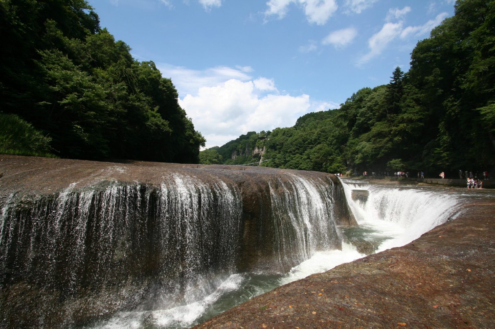
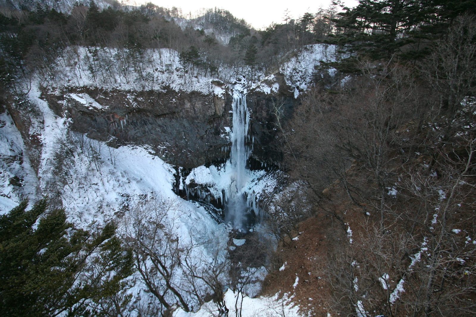
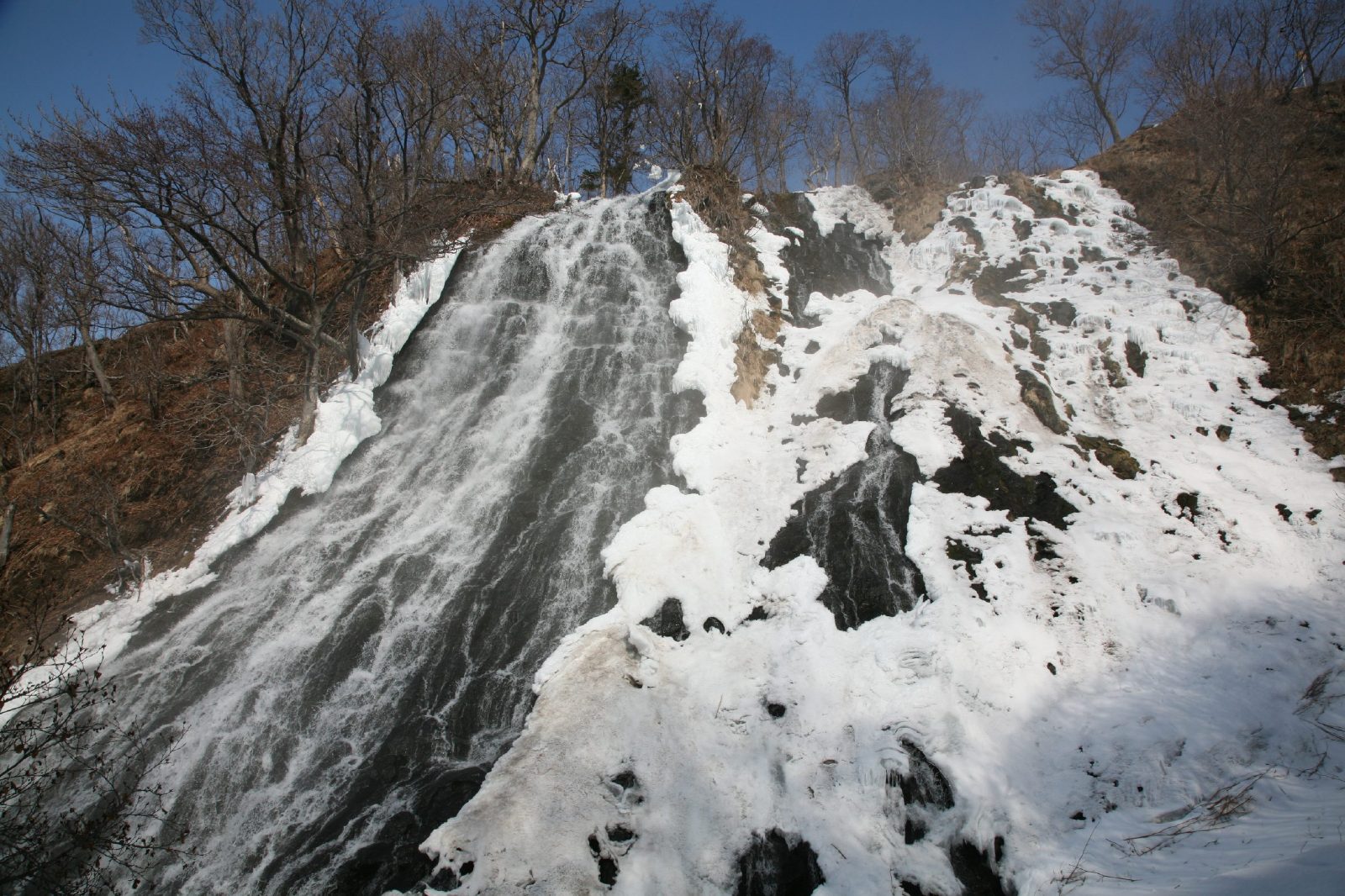
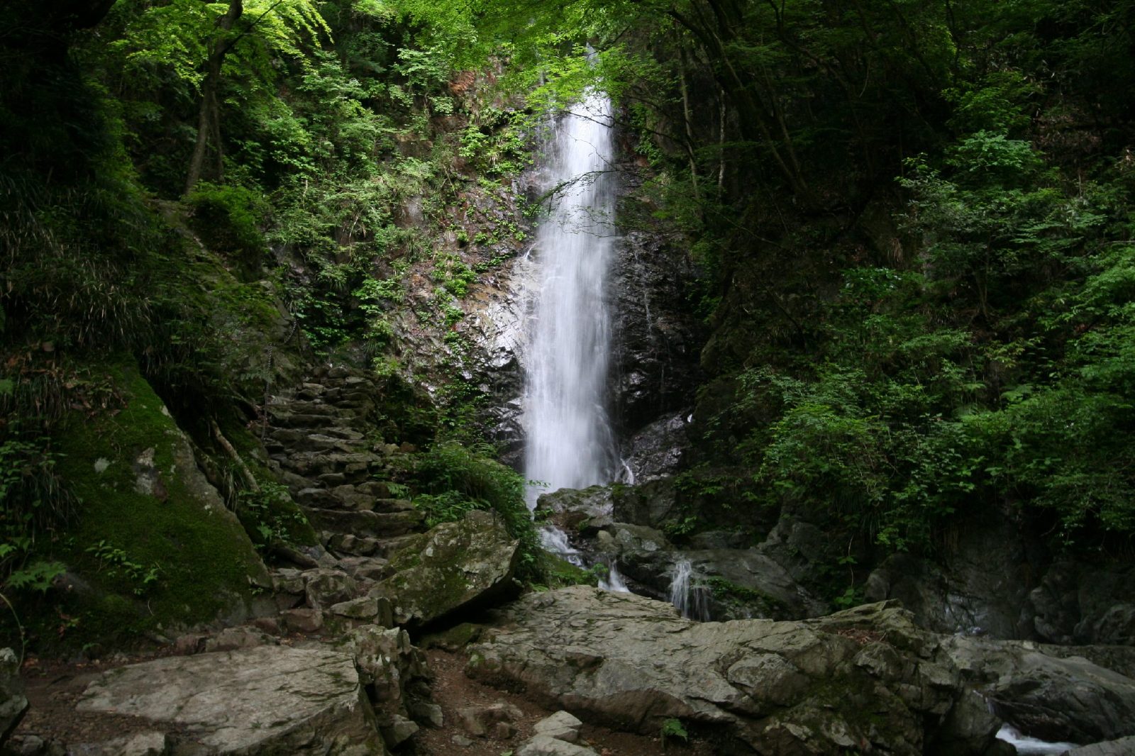
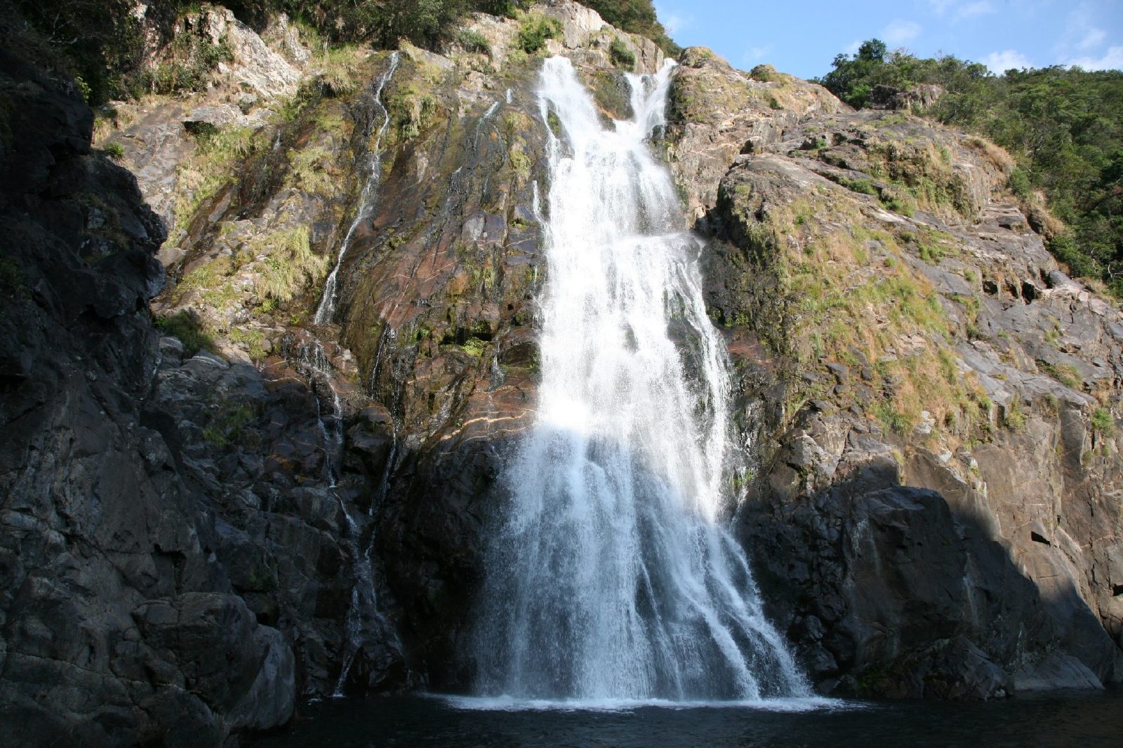
In Japan, there are about 3000 waterfalls, and 517 waterfalls are named waterfalls. Many of these waterfalls are located in remote mountain locations such as Syomyo waterfalls located in the middle of  Japanese Alps.

Japan Waterfalls are sprinkled throughout this mountainous country that sees plenty of snow and cold winter days as well as hot and rainy summer days. The rugged topography has resulted in many different kinds of waterfalls from the percolating wide curtain of
Shiraito no taki as well as majestic ones like Kegon-no-taki.

Given the history and Buddhism influence, there are also waterfalls by sacred temples such as Nachi no taki and others fed by the melting snow in the Japan Alps like Shomyo daki and Hannoki no taki. And if that wasn't enough, there are places in the country where Nature has been allowed to thrive such as Daisetsuzan National Park as well as Shiretoko National Park. And in these parks, you can find waterfalls plunging down steep forested gorges like Ginga no taki and Ryusei  no taki as well as a rotemburo (a hot spring waterfall) like Kamuiwakka no taki.

Above courtesy world-of-waterfalls.com � O i �t� � � ack1"> Choshi falls Choshi falls


Kirifuri-no-taki


Imafuku-no-taki


[Name] Imafuku-no-taki
[Place] Imafuku, Miyazu-City, Kyoto Pref.
[River] Imafuku River, the upper area of Yura River
[Style] Seven steps
[Height] 78m

Kanabiki-no-taki


[Name] Kanabiki-no-taki
[Place] Miyazu-city, Kyoto Pref.
[River] the upper area of Yura River
[Style] Diagonal(Right)
[Height] 40m

Midono-O-taki

 Ayu-taki


Atera-no-nana-taki

Ushi-no-taki
Choju-no-Taki (Ushio-Kannon)
[Name] Choju-no-taki(Another Name:Choshi-no-taki)
[Place] Yamashina-Ward, Kyoto-City, Kyoto Pref.
[River] Otowa River, the upper area of Kamo River
[Style] Diagonal(Right)
[Height] 5m

Yokitogi-no-Taki (Lower parts)
Kanjo-no-Taki
Wakio-no-Taki (Sobugata-take)
[Name] Ikaduchi-Fudo-Taki
[Place] Yamanashi-city, Yamanashi Pref.
[River] Ikaduchi River, the upper area of Fuji River
[Style] Streight
[Height] 20m

Nanatsugama-Godan-no-taki
[Name] Nanatsugama-Godan-no-taki
[Place] Yamanashi-city, Yamanashi Pref.
[River] Nishizawa Valley, the upper area of Fuji River
[Style] Consecutive, Like the stairs
[Height] About 50m

Nishizawa-Valley(2)
[Name] Uncertain
[Place] Yamanashi-city, Yamanashi Pref.
[River] Nishizawa Valley, the upper area of Fuji River
[Style] Streight
[Height] About 2m

Nishizawa-Valley(1)
[Name] Uncertain
[Place] Yamanashi-city, Yamanashi Pref.
[River] Nishizawa Valley, the upper area of Fuji River
[Style] Consecutive, Like the stairs
[Height] About 5m

Oshidori-Kakushi-no-taki
[Name] Oshidori-Kakushi-no-taki
[Place] Chino-city, Nagano Pref.
[River] Yokotani Valley, the upper area of Lake Suwa
[Style] Consecutive, Like the stairs
[Height] 15m

Bandokoro-O-Taki
[Name] Bandokoro-O-taki
[Place] Matsumoto-city, Nagano Pref.
[River] Kooono River, the upper area of Kiso River
[Style] Streight
[Height] 40m

Zengoro-no-taki
[Name] Zengoro-no-taki
[Place] Matsumoto-city, Nagano Pref.
[River] Kooono River, the upper area of Kiso River
[Style] Streight
[Height] 21m

Sanbon-daki
[Name] Sanbon-daki(Left:Honsawa-no-taki, Right:Kurosawa-no-taki)
[Place] Matsumoto-city, Nagano Pref.
[River] Kooono River, the upper area of Kiso River
[Style] Streight(Left), Diagonal(Right)
[Height] 40m(Both)
[Name] Karasawa-no-taki
[Place] Kiso-cho, Nagano Pref.
[River] Nishihora River, the upper area of Kiso River
[Style] Consecutive, Like the stairs
[Height] 50m

Ushi-ga-taki
[Name] Ushi-ga-taki
[Place] Nagiso-cho, Nagano Pref.
[River] Kakizore Valley, the upper area of Kiso River
[Style] Streight
[Height] 18m

Me-daki
[Name] Me-daki
[Place] Nagiso-cho, Nagano Pref.
[River] Odaru River, the upper area of Kiso River
[Style] Streight
[Height] 10m

O-daki
[Name] O-daki
[Place] Nagiso-cho, Nagano Pref.
[River] Odaru River, the upper area of Kiso River
[Style] Streight
[Height] 10m

O-taki

[Name] O-taki
[Place] Katsuyama-city, Fukui Pref.
[River] Takinami River, the upper area of Kuzuryu River
[Style] Consecutive, Like the stairs
[Height] 20m

Fudo-taki
[Name] Fudo-taki
[Place] Katsuyama-city, Fukui Pref.
[River] Takinami River, the upper area of Kuzuryu River
[Style] Consecutive, Like the stairs
[Height] 10m

Nodo-no-taki
[Name] Nodo-no-taki
[Place] Katsuyama-city, Fukui Pref.
[River] Megami River, the upper area of Kuzuryu River
[Style] Consecutive, Like the stairs
[Height] 35m

Sakosaga-no-taki
[Name] Sakosaga-no-taki
[Place] O'no-city, Fukui Pref.
[River] hinokitani River, the upper area of Kuzuryu River
[Style] Streight
[Height] 22m

Hotokegozen-no-taki
[Name] Hotokegozen-no-taki
[Place] Ono-city, Fukui Pref.
[River] Kuzuryu River, flowing from Mt.Arashimadake
[Style] Consecutive, Like the stairs
[Height] 70m

Ben-ga-taki
[Name] Ben-ga-taki
[Place] Katsuyama-city, Fukui Pref.
[River] Megami River, the upper area of Kuzuryu River
[Style] Streight
[Height] 30m

Ryuo-no-Taki
[Name] Funao-taki
[Place] Yoshioka-cho, Gunma Pref.
[River] Takizawa River, the upper area of Tone River
[Style] Streight
[Height] 50m

Otsuji-ga-taki

[Name] Otsuji-ga-taki
[Place] Sugakawa-city, Fukushima Pref.
[River] Abukuma River
[Style] Streight
[Height] 6m

Choshi-ga-taki
[Name] Choshi-ga-taki
[Place] Koriyama-city, Fukushima Pref.
[River] Ishimushiro River
[Style] Two steps
[Height] 48m

Tatsusawa-fudo-taki
[Name] Tatsusawa-fudo-taki
[Place] Inawashiro-cho, Fukushima-Pref.
[River] Tatsusawa River, the upper area of Inawashiro Lake
[Style] Streight
[Height] 10m

Namegawa-Otaki
[Name] Namegawa-Otaki
[Place] Namegawa Hot Spring, Yonezawa-city, Yamagata-Pref.
[River] Otakigawa River, the upper area of Mogami River
[Style] Diagonal
[Height] 80m

Futakuchi Valley
[Name] Nothing
[Place] Taihaku-ku, Sendai-city, Miyagi-Pref.
[River] Futakuchi Valley, the upper area of Natori River
[Style] Consecutive, Like the stairs
[Height] Uncertain

Ane-taki
[Name] Anetaki
[Place] Taihaku-ku, Sendai-city, Miyagi-Pref.
[River] Futakuchi Valley, the upper area of Natori River
[Style] Streight
[Height] 16m


"Ane" means "elder sister" in Japan. At the next of this waterfalls, "Imouto"taki flows. "Imouto" mean 'younger sister'.
The stroll road leads sideward of the direction board.Because Uppermost partof this watarfalls goes out of "Anetaki" up soon though "Imoutotaki" can be seen between trees, the whole content of the waterfall cannot be seen. You should aim at Suspension Bridge from the downstream by about 200m, go along in addition in the rock, and go out in front of the waterfall. "Imoutotaki" can be seen at the same time.
[Name] Homei-Shiju-Hachi-taki
[Place] Aoba-ku, Sendai-city, Miyagi-Pref.
[River] Hirose River
[Style] Consecutive, Like the stairs
[Height] 30m

Sekiyama-O-taki
[Name] Sekiyama-Otaki
[Place] Sekiyama, Higashine-city, Yamagata Pref.
[River] Midare River, the upper area of Mogami River
[Style] Diagonal
[Height] 10m
[Comment]

Tamugimata-no-taki
[Name] Tamugimata-no-taki
[Place] Tsuruoka-city, Yamagata-Pref.
[River] Tamugimata River
[Style] Streight
[Height] 40m

Shiraito-no-Taki
[Name] Kaminari-taki
[Place] Takayama-vlg., Nagano Pref.
[River] Matsukawa Valley, the upper area of Shinano River
[Style] Streight
[Height] 30m

Uguisu-Taki

Senpiro falls


Senpiro falls
Joren falls Joren falls
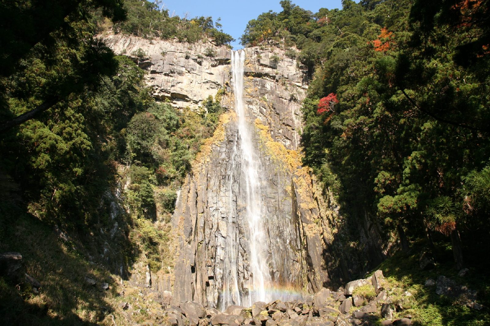
Nachi falls Nachi falls
Tsugane falls Tsugane falls
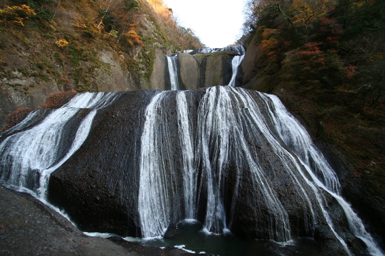
Fukuroda falls Fukuroda falls
Fukiware falls Fukiware falls
Kegon falls Kegon falls
Oshinkoshin Falls Oshinkoshin Falls
Jinba falls Jinba falls
Anmon falls Anmon falls
Hirayu falls Hirayu falls
Hossawa falls Hossawa falls
Oko falls Oko falls
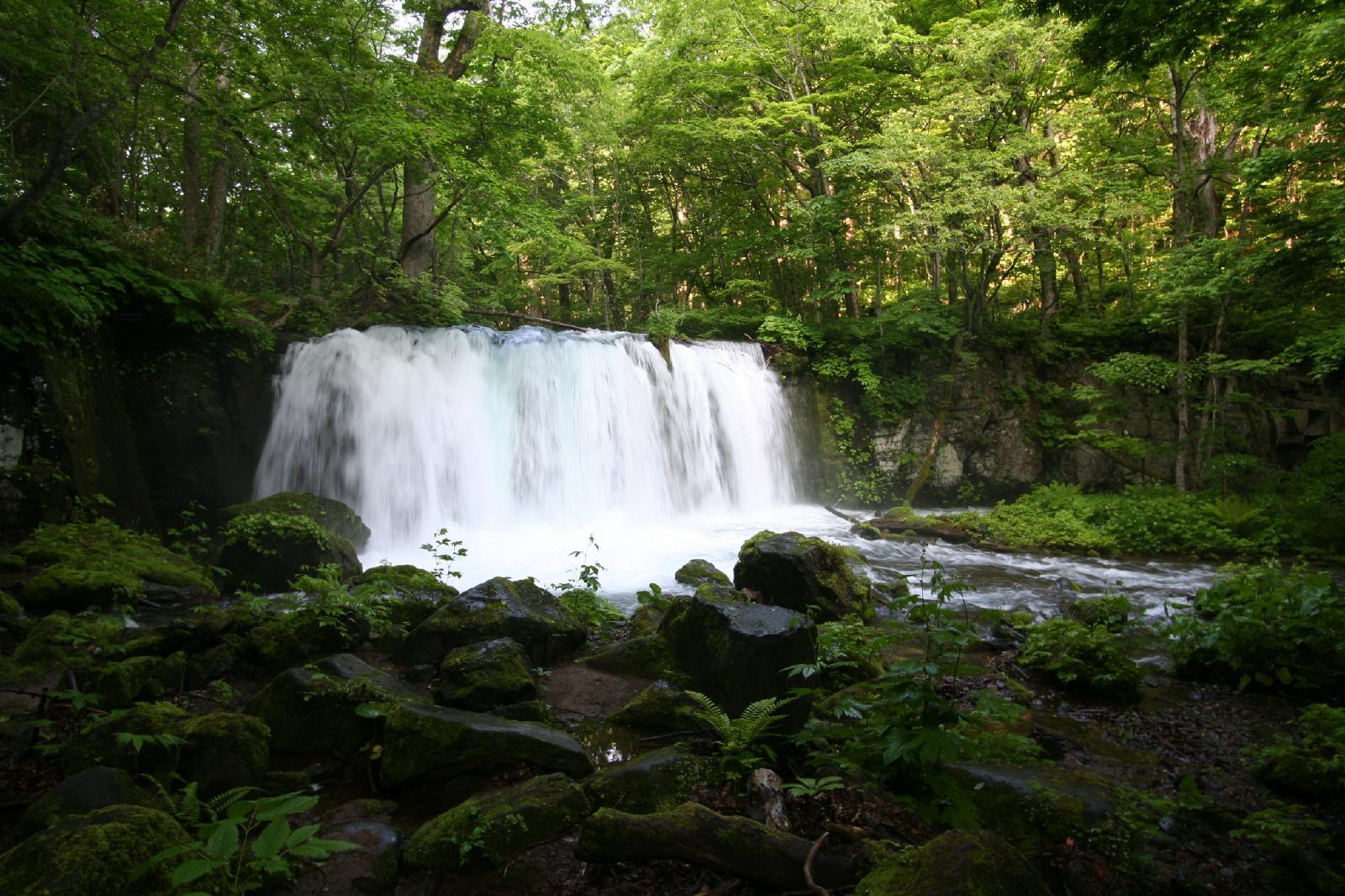
Choshi falls Choshi falls

Tags: waterfalls in Japan, waterfalls of Japan, List of waterfalls in Japan, Waterfalls, waterfall in Japan, waterfalls Japan, Falls in Japan, Japan Falls, Tallest Fall in Japan, Widest Water fall Japan, The widest waterfall in Japan, Photos of Japan Water falls, Japan waterfalls Photos, Top waterfalls in Japan